It's a Team's Life
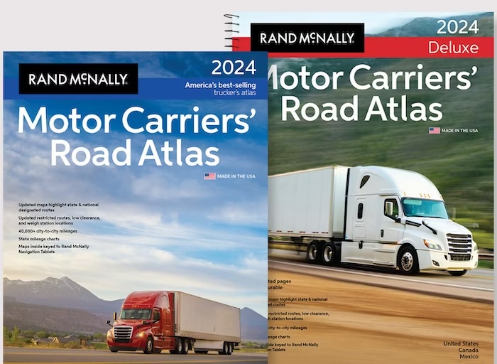
2024 Rand McNally Road Atlas
Before we get into the particulars of the new Rand McNally Motor Carrier Atlas, we would like to go down memory lane. Doing so will show our age and bring back memories of those around the same age as us.
Both of us remember when all we only a few ways of figuring out how to get from point A to point B. The main was a state, city, county, etc foldable paper map. Most of the time they were provided by the state, gas station, etc. Another way you could call the location you were going and ask for directions. The problem here is you might be a good distance away and they could only give you local directions. The “best” and funniest way is just head out and “stop” along way and ask for directions (Note: we know all men will stop and ask for directions).
For both of us when the family was getting ready to head out on a family road trip vacation. “Dad” would somehow collect up those foldable paper maps needed for the trip. Then evening after dinner were spent with everyone around the kitchen table studying those maps planning our route and what everyone wanted to stop and see. An interesting point is when Stephen was growing up his father was in the military. At one point he was stationed in Germany and planning road trips that crossed country boundaries were fun. Also, his father learned getting those paper foldable maps was not as easy in Europe as in the United States.
Both of can remember those “pit stops” at the first rest area in each state we came to. One of us was assigned to make sure to pick up a new state map. You know it just might be newer than the one we have in the car. Most of time it was the same one and now we have two of them. But you know hey it was “free”.
For Stephen’s family when his father learned about AAA he thought he had the world by the tail. He could just go down to the local office and the people would build a packet that had all those foldable maps. All this even came with some bonus stuff. They would include booklets that rated hotels, sightseeing spots to check out and so on. Then there were the binding spines (we will let you look that up) booklets that AAA would build for you with turn-by-turn pages in them.
Well enough of memory lane……The 2024 Rand McNally Motor Carrier Atlas is out. Each year they update items in it to be up to date. Here are the things that were updated for the 2024 edition.
- State and national truck-accessible routes
- State-by-state regulations
- Fuel tax charts
- Restricted routes
- Low-clearance
- Tractor-trailer inspection procedures
- Hazmat route regulations
- Weigh station locations
- Population values
- Mileage-based exit numbers along Interstate 95 in Rhode Island
- Road construction and conditions hotlines
- Easy-to-use chart of state and provincial permit agency phone numbers and websites
- Redesignation of U.S. Highway 264 in North Carolina along I-95 near Wilson to Greenville to Interstate 587
We buy a new version of the Atlas at least every other year if not every year. Why? Because of the updates the provide in them. We use this Atlas as a way to check the route that is being proved either by Google Maps, our GPS, etc.
What do we do with our previous Atlas? We have a couple of different things we do with it. We either give to someone we know that does not have one. The other is we donate to our carrier to put into the drivers lounge at one the terminals.
So, for a little money it is great to have this “paper” foldable map as a backup and a way to check to make sure you are taking truck legal routes.
Sandy & Stephen
We’re Burning Daylight - “Wil Anderson” (The Cowboys) John Wayne