It's a Team's Life
Motor Carrier Atlas becomes priceless
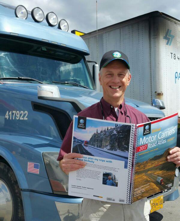 |
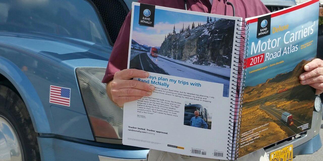
| Friend and now Rand McNally Model Alec - picture on back cover |
Cartographer - little know fact about my past. I have often been asked what I did before Bob and I started trucking and I usually say I worked at the court house, I worked in Data Processing, or sometimes I even say I worked in the appraisers office but I very rarely say I started as a cartographer....
When I started working at the Morton County Courthouse I worked in the newly created appraisers office. Kansas took on the monumental task of revamping the tax system and they started from the ground up. Every piece of property was looked at, cataloged and the whole state was mapped. We had aerial maps that was flown of our county and then we created property maps to go over this along with topographic maps and then went as far as to have soil classification maps. It was a huge undertaking and it was exciting. While I am not qualified to create a map I was very qualified to look at a map, look at a deed, and plot out the property boundaries. In time, we digitized all of the maps and then where able to print out exactly what we needed when talking to a tax payer. I like maps and everything that goes into creating maps.
Now in the truck we have slowly progressed from using our Rand McNally Motor Carrier Atlas to using our Rand McNally GPS as it is faster and is constantly updated. I have even gone so far as to try and throw out the paper Atlas as why would we need that old thing? When I need a route I look at the GPS, I look online, or I look at my computer for a route before we take off. Reading a map is becoming a dying art as in a survey 6% of those under 30 cannot read a map at all and 4 out of 5 are not comfortable using a map. That is sad as there is so much information on a map that is overlooked and the more you learn about maps the more there is to see.
So the question is which is better a GPS or a paper map? As with most questions the answer is "It Depends". After what has happened this year a Rand McNally Motor Carrier Atlas will also be in our truck and a Rand McNally GPS will also be on the dash. Both have been of great assistance to us.
When we were asked to go into New Orleans right after hurricane Katrina we found out quickly that without our GPS we would have been very VERY lost as the street signs were mostly gone. We were relatively new to a GPS at that time and we were sold that it was the next best thing to sliced bread! That GPS saved the day and a GPS has been in our truck since.
The GPS failed us though on the recent hurricane Matthew we found out that our GPS was no help. The roads the GPS wanted to take us on were flooded and when we went off route the GPS through a FIT. Out came the Motor Atlas and very quickly we rerouted ourselves to get around the flooded roads and we were not constantly being told recalculating.
Both the GPS and the Atlas were able to get us to our destination in severe weather and the aftermath of no road signs or flooded roads. Knowing how to use both is needed when driving a truck across the country or into new areas every day.
Bob & Linda Caffee
TeamCaffee
Saint Louis MO
Expediters since January 2005
[email protected]
Expediting isn't just trucking, it's a lifestyle;
Expediting isn't just a lifestyle, it's an adventure;
Expediting isn't just an adventure, it's a job;
Expediting isn't just a job, it's a business.